
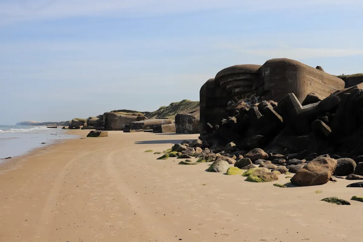
Understanding the historical landscape of a region like Somerset, particularly its World War II defensive structures, offers a unique content opportunity for specialized platforms. This guide details the history and key locations of pillboxes across Somerset, providing a foundational resource for researchers, local historians, and anyone seeking to document or comprehend these significant remnants of Britain’s wartime past. The specificity of this topic allows for deep content authority and serves a precise informational intent. This detailed exploration serves as a comprehensive local history guide to Somerset pillboxes, offering valuable insights for enthusiasts and researchers alike.
The Strategic Imperative: Why Pillboxes Emerged
Pillboxes, ubiquitous concrete defensive structures, represent a tangible response to the imminent threat of Axis invasion during World War II. Following the Dunkirk evacuation in May 1940, Britain faced the very real possibility of a German landing. The prevailing strategy shifted from offensive operations to a comprehensive home defense, necessitating rapid construction of static defenses across the country. These structures were designed not to halt an invasion outright, but to delay and channel enemy forces, allowing time for mobile reserves to counter-attack.
Construction accelerated under the supervision of the War Office and local military commands. Thousands of pillboxes, along with anti-tank ditches, roadblocks, and other obstacles, formed a network of "stop lines" intended to dissect the landscape and create defensive strongpoints. Their primary function was to provide protected firing positions for machine guns, rifles, and anti-tank weapons, covering critical infrastructure, road junctions, and potential invasion routes.
Somerset's Role in National Defense
Somerset's geographical position, with its extensive coastline along the Bristol Channel, low-lying plains, and vital communication arteries, made it a critical area for defensive planning. The county was intersected by several key stop lines designed to protect major cities further inland and to prevent enemy forces from moving east or south. These lines often followed natural barriers like rivers and canals, reinforced by man-made defenses.
The county's strategic assets included:
- Coastal Vulnerability: The long coastline presented numerous potential landing sites for an amphibious invasion.
- Major Transport Routes: Key railway lines (e.g., the Great Western Railway) and primary roads ran through Somerset, essential for troop and supply movement.
- Airfields: Several operational airfields in Somerset were crucial for RAF operations and potential targets for enemy capture.
- Agricultural Importance: Somerset's agricultural output was vital for the war effort, making the region's protection a priority.
The density and placement of pillboxes in Somerset reflect these strategic considerations, with concentrations often found guarding bridges, railway crossings, and coastal approaches.
Common Pillbox Types Found in Somerset
While many variations existed, the designs for most pillboxes were standardized by the Directorate of Fortifications and Works (FW). Somerset hosts a representative collection of these standard types, each optimized for specific defensive roles:
FW3 Type 22
This is arguably the most common pillbox design across Britain, and frequently encountered in Somerset. It's a hexagonal structure, typically constructed from reinforced concrete, with a flat roof. It features six embrasures (firing slots) allowing for 360-degree defense. Its compact size and robust construction made it versatile for various defensive positions.
FW3 Type 24
A rectangular variant, the Type 24 is often larger than the Type 22 and typically features a porch entrance for added protection. It usually has firing embrasures on all four sides, offering good all-around defense, and sometimes included an internal anti-ricochet wall. These were often positioned to cover wider areas or more critical junctions.
FW3 Type 28 (Lozenge)
Distinctive for its diamond or lozenge shape, the Type 28 was designed to resist artillery fire more effectively due to its angled walls. These pillboxes often have fewer embrasures than hexagonal types, focusing fire along specific arcs, particularly along stop lines or coastal defenses. Their unique shape makes them relatively easy to identify.
Local and Non-Standard Designs
Beyond the standard FW3 series, Somerset also features examples of local designs or modifications. These can range from brick-built structures to pillboxes integrated into existing buildings or natural features. Their presence highlights the localized nature of some defense planning and the use of available materials and labor.
Pro Tip: When documenting pillboxes, pay close attention to construction materials, embrasure count and design, and any unique features like internal walls or external camouflage remnants. These details are crucial for accurate classification and historical record-keeping.
Key Locations and Concentrations
Pillboxes in Somerset are not randomly distributed; they form part of cohesive defensive lines. Identifying these concentrations provides context for their strategic purpose. While specific coordinates are beyond the scope of this general guide, understanding the geographical patterns is key:
The Taunton Stop Line
This was one of the most significant anti-invasion defenses in the South West. It ran from the coast at Blue Anchor Bay, through Taunton, and then eastwards towards the Blackdown Hills. Along this line, pillboxes are often found guarding bridges over the River Tone and other watercourses, as well as railway crossings and main roads. The line aimed to protect the vital communications hub of Taunton and prevent an enemy advance inland from the coast.
Coastal Defenses
Areas like the Bridgwater Bay and the coastline around Minehead and Watchet feature pillboxes positioned to cover beaches, estuaries, and potential landing zones. These often include more robust designs or those integrated with anti-tank obstacles.
River and Canal Defenses
The Rivers Parrett, Brue, and Axe, along with the various canals (e.g., Bridgwater and Taunton Canal), provided natural defensive barriers. Pillboxes are frequently located at points where these waterways are crossed by roads or railways, creating choke points for an advancing enemy.
Airfield Protection
While less numerous, some pillboxes were positioned to defend the perimeter of key airfields within Somerset, such as those near Yeovilton or Weston-super-Mare, against airborne or ground assault.
Documenting and Preserving These Structures
For those interested in the physical remnants of Somerset's wartime past, approaching pillboxes requires both respect for history and adherence to safety guidelines. Many pillboxes are on private land, necessitating permission from landowners before access. Structures can be unstable, and their interiors may contain hazards like debris, sharp objects, or wildlife.
Documenting these sites contributes to a broader historical record. Local historical societies and national projects often welcome photographic submissions, grid references, and details about the condition of the structures. This helps in monitoring their preservation status and ensuring their story continues to be told.
Understanding Somerset's Defensive Legacy
The pillboxes of Somerset stand as silent sentinels, embodying a pivotal moment in British history. Their presence across the landscape offers a tangible connection to the anxieties and defensive efforts of World War II. For researchers and enthusiasts, exploring these structures provides not just a historical journey but also an opportunity to contribute to the ongoing understanding and preservation of our shared heritage. The detailed study of their types, locations, and strategic context enriches our appreciation of Somerset's unique contribution to national defense. These structures are vital for anyone wanting to delve deeper into Somerset's role in World War II and its strategic importance.
Frequently Asked Questions About Somerset Pillboxes
What was the primary purpose of pillboxes in Somerset?
Pillboxes in Somerset were built as static defensive positions during World War II to delay and channel potential enemy invasion forces, protecting vital infrastructure like roads, railways, and airfields, and defending key coastal areas.
Are all pillboxes in Somerset the same design?
No, Somerset features several standard designs, primarily from the FW3 series like the hexagonal Type 22, rectangular Type 24, and lozenge-shaped Type 28. There are also local variations and non-standard constructions.
Can I visit any pillboxes in Somerset?
While many pillboxes are visible from public rights of way, a significant number are located on private land. Always seek landowner permission before attempting to access any structure on private property. Prioritize safety, as many structures are derelict and potentially hazardous.
How many pillboxes are there in Somerset?
The exact number fluctuates due to demolition and rediscovery, but historical surveys indicate hundreds were constructed across the county, particularly along designated stop lines and coastal areas. Many remain visible today.